Layout of Kampot
Kampot is a province of Cambodia, but on this website, we concentrate on the City of Kampot, the provincial capital and the surrounding areas…. The province is about 80KM wide and 100KM from top to bottom. The City of Kampot is about 4 KM wide and 12 KM long, following the Kampot River from the mountains to the Bay of Thailand. (or the ocean, as we call it.)
There’s also a large island right off the coast of Kampot, Kep, and SihanoukVille. Phu Quoc Island. While right off the Cambodia coast, it is nowhere near Vietnam. But this is actually Vietnam. Thanks France.
15 minutes West from downtown Kampot is a really big mountain (for here). Bokor Mountain is 1KM up, and has one of the best roads in Cambodia from bottom to top to get there.
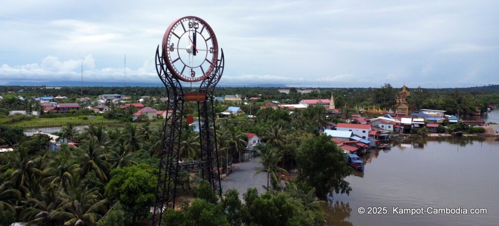
Across downtown from the Kampot River is Fish Island. It’s connected by one bridge. Salt and rice fields, some small mountains and a small beach. Lots of fishing boats here, and now, lots of small Riverside resorts. (2 of the 3 sides of the island are right across the Kampot River from the Mainland.)
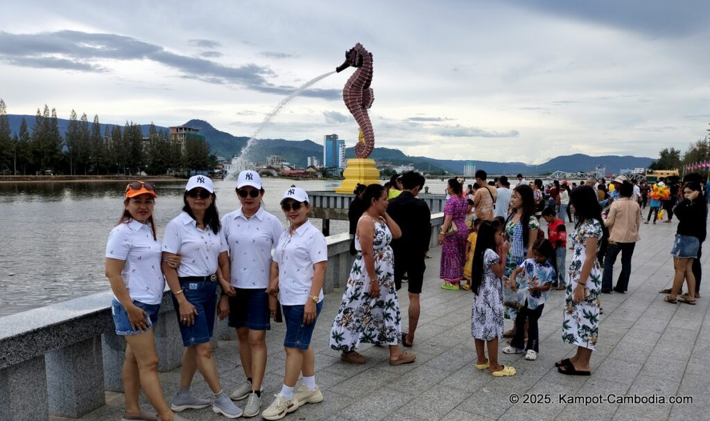
Most activities center around downtown, or on both sides of the Kampot River. Downtown is on the East side of the River, “The other side of the River” is always referred to as the side across from downtown.
From downtown to the South (downstream), across the river from the exercise place on the River, you can see a bridge across another River, that leads to Fish Island. This island is very lightly populated, has a couple guesthouses, salt fields, rice fields, and at the far side (from downtown) is Phnom Doang Mountain (a hill) and a white sandy beach. The beach is not great. It’s 3 minutes from downtown to the Fish Island Bridge, and 20 more minutes by road. Fantastic scenery, good roads (sometimes), and very few tourists make it here.
There are 3 bridges around downtown. The New Bridge is on Route 3, which goes between Kampot and Phnom Penh or SihanoukVille. This is also the road to Koh Kong.

The Old Bridge is in the center of downtown Kampot, goes to the same roads as the New Bridge, and is for motorcycles only.
The third bridge is the Railroad Bridge, and from the Downtown side of Kampot, goes another kilometer to the Kampot Train Station. You can go by train to SihanoukVille or Phnom Penh. You can also walk across the bridge or take wedding photos here.
Going downstream from downtown, (South), there’re not many touristy places. Except for the biggest tourist place in town…. the Kampot International Tourist Port with trips between Kampot and Koh Rong, Koh Rong Samloem and Koh Sdach Islands in Cambodia.
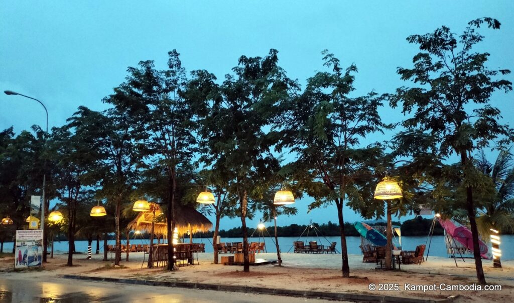
However, upriver from downtown, on both sides of the River, there are several riverside bungalows, retreats, water parks, dorms, resorts, plantations, as well as a waterfall at the end of the River road, across from downtown. The River is so close to the ocean, that during high tide, the River will flow “upstream”.

Location of Kampot
Kampot is in the South-East corner of Cambodia, bordered by Kep Province, Southern Vietnam, and The Bay of Thailand.
The Province borders Koh Kong and Kampong Speu to the North, Takeo and Vietnam to the East and Sihanoukville to the West. It completely surrounds Kep Province (except for the Bay of Thailand). The coastline is around 45KM.
SihanoukVille, Cambodia (for the people still stuck there) is a 2 to 4+ hour drive, depending on the road. Kep, Cambodia, a resort town on the beach, is about 30 minutes from downtown Kampot. Phnom Penh is a 2 to 3 hour ride. The road to Phnom Penh is good now, but if you get there during rush hour, watch out!. The Secret Lake and some of Cambodia’s finest Kampot Pepper plantations are about 30 minutes away from town, in the direction of Kep. The Vietnamese border at Prek Chak (Cambodia) / Ha Tien (Vietnam) is about 60 minutes away.
The closest airports are in SihanoukVille, about 2 to 4 hours away, and Phnom Penh, about hours away. There is no international waterway border in or near Kampot.
People of Kampot
The local people of Kampot work fishing in the ocean, mining the salt fields, on Kampot Pepper farms, on fruit and vegetable farms (Kampot Durian is famous throughout the country), the tourist industry, construction, factory workers, and selling stuff. (Not to mention the Baseball factory here)… People come from all over Kampot Province, Kep, and Vietnam to buy things in downtown Kampot that they can’t get anywhere else nearby (or can’t get for a good price.)
A couple thousand foreigners work here in the tourist industry, teaching English, as charity workers, or supporting the local beer industry.
Why do people go to Kampot
Besides locals coming to Kampot to buy stuff, both local Khmer people and foreign tourists come to Kampot to either relax, go to a spa, explore the countryside, bar hopping or partying. Or maybe they want to do all of these activities!?. Riverside activities, the downtown scene, countryside, Bokor Mountain, dirt bike tours, Kampot Pepper plantation tours.
Getting Around Kampot
Downtown Kampot is easy to get around. Just walk. Or rent a bicycle. There are also Tuk Tuks, (a cart pulled by a motorcycle). There’s even an app, PassApp, you can download and get a 75 cent private Tuk Tuk ride inside town. Many tourist chose to rent a scooter (100cc automatic motorcycle) to get around. These people have the most fun of all. It’s $5 a day, and a dollar of gas gets you about 1 hour of drive time. Almost anywhere you go, you’ll be able to find at least some people who speak English, and most of the signs in Cambodia are in English as well. Many tourist here go kayaking or paddle-boarding, but they end up right where they started from.
Also, many travel agencies have local tours, either by boat, Tuk Tuk, van, car, buggy, big bike, bicycle, or walking.
You can find a map of Kampot here, and a Kampot River Map here.
